


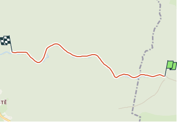

3.2 km | 6.2 km-effort


Tous les sentiers balisés d’Europe GUIDE+


FREE GPS app for hiking
 SityTrail
IGN / Geographical institutes
SityTrail World
The world is yours!
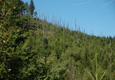
Trail On foot of 4.6 km to be discovered at Northeast, Liberecký kraj, Rokytnice nad Jizerou. This trail is proposed by SityTrail - itinéraires balisés pédestres.
Trail created by cz:KČT.


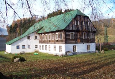
On foot
![Trail On foot Špindlerův Mlýn - [Č] Medvědín okruh - Photo](https://media.geolcdn.com/t/375/260/c3362a18-9b51-4a00-857c-f7322a3307a7.jpeg&format=jpg&maxdim=2)
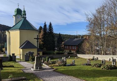
On foot
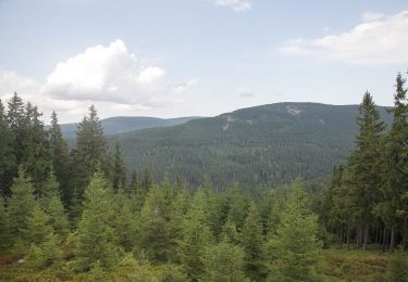
On foot
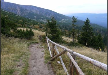
![Trail On foot Rokytnice nad Jizerou - [Z] Vosecká bouda - Pod Dívčí strání - Photo](https://media.geolcdn.com/t/375/260/da6881f4-4ab0-41f2-96c7-428bc31eae9f.jpeg&format=jpg&maxdim=2)
On foot
On foot
On foot
On foot
On foot

On foot